Geomatics @ JPB
Johnson Poole & Bloomer offers a complete multi-disciplinary service for all your surveying needs and provides the rapid response required by the decision maker in today's competitive climate.
Using the latest technology JPB offers sound practical advice and an innovative ability to complete tasks in the most accurate yet cost effective way.
Services
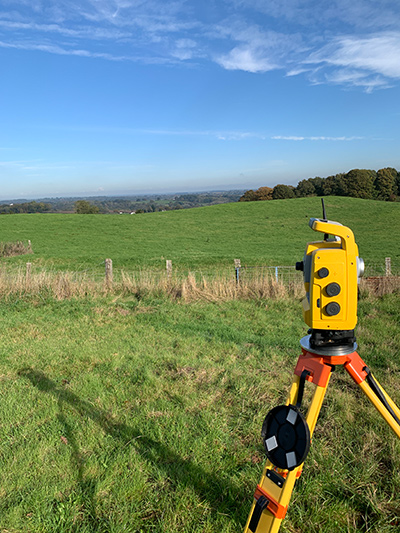
Land Surveying - True-to-scale record of existing surface features in hard copy and digital formats.
Cloud to cloud comparative analysis.
Point cloud digitization.
Measured Building Surveys - Floor plans, elevations and sections.
Setting Out - Setting out for house building and construction projects.
Subsidence Monitoring - Precise levelling to sub-millimetre accuracy.
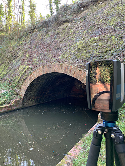
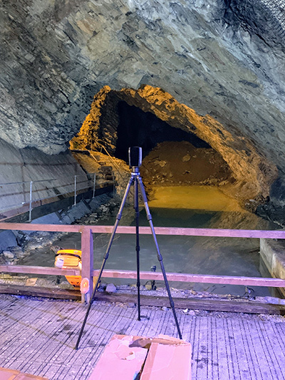
Underground Surveys - Surveys in mines and tunnels.
Dimensional Control / Structural Monitoring - Provision and periodic checking of horizontal and vertical control on properties.
Geodetic Control - Utilising Global Positioning Systems for high precision control over large projects.
Surface Design - Optimised design proposals for new ground surfaces for Mineral Extraction and Earthmoving industries.
Volume Analysis - Comparison of multiple surfaces for earthworks and construction.
Quarries - Periodic updates, design, stockpiles, face profiles, royalty payments.
Landfill - Periodic updates, royalty surveys, profiling.
3D Visualisation and Fly-throughs - Preparation of presentation graphics in hard copy or digital format.
Boundary Disputes - Researching legal and historic plans and documents and acting as Expert Witness.
Land Registry Plans - Liaison with solicitors to provide plans for Land Registry purposes.
Survey Specification - Tailored to specific projects and client needs.
CAD Bureau - Provision of Computer Aided Design operators to supplement clients' in-house expertise.

